Ahhh… hiking in the Bay. (Closing my eyes.)
If you know anyone who lives in the Bay Area, you’ve probably heard their enthusiastic story or two about a life-changing hike they experienced. I’m here to tell you that there’s a reason why the words “hike and awesome” are consistently paired together.
Over the summer, I didn’t have a chance to travel anywhere because I was busy with work, so I made it a point to go on a different hike every single weekend.
Hot tip: download AllTrails
I used this very handy app to figure out where I wanted to go, how long I wanted to hike for, and what other reviewers had to say about it. You can even record your hikes as you’re walking and then leave a review. Pretty nifty.
I used the app as my map too, but sometimes it wasn’t so great because cell service in some hiking areas are limited. Whenever the map didn’t work so well, I inevitably got lost.
#10 Big Basin Redwoods State Park
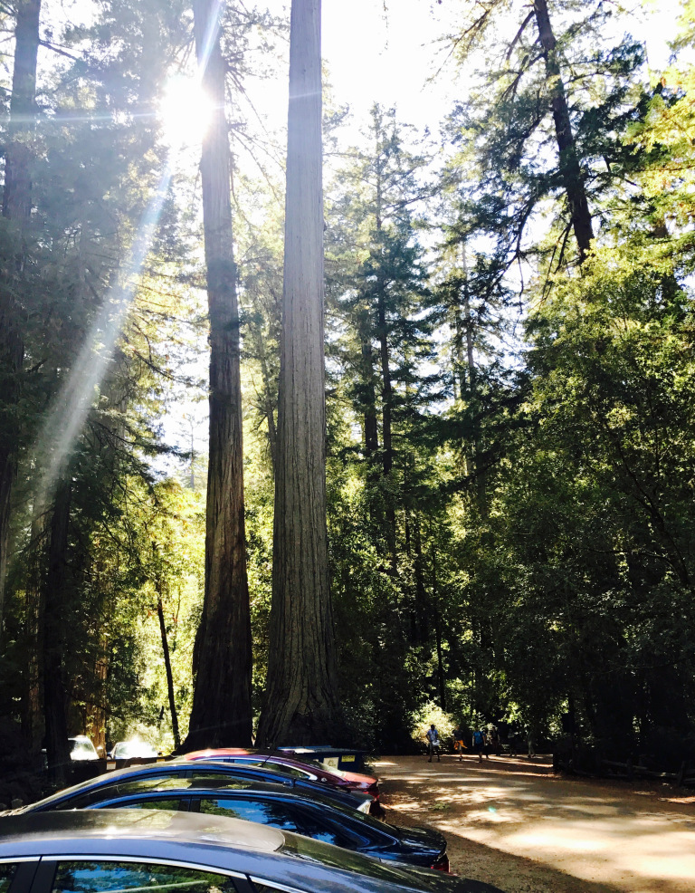
An hour north of Santa Cruz, this area is incredibly expansive. It’s sort of touristy and crowded (which is why it’s at the bottom of my list) - they even have an information center and a restaurant with a cafe and snack shop.
The trails were tricky and I kept getting lost.
Parking is congested and if you get there late, you’ll have to park really far from the start of the trails. It costs $10 to park.
Big Basin best hikes on All Trails.
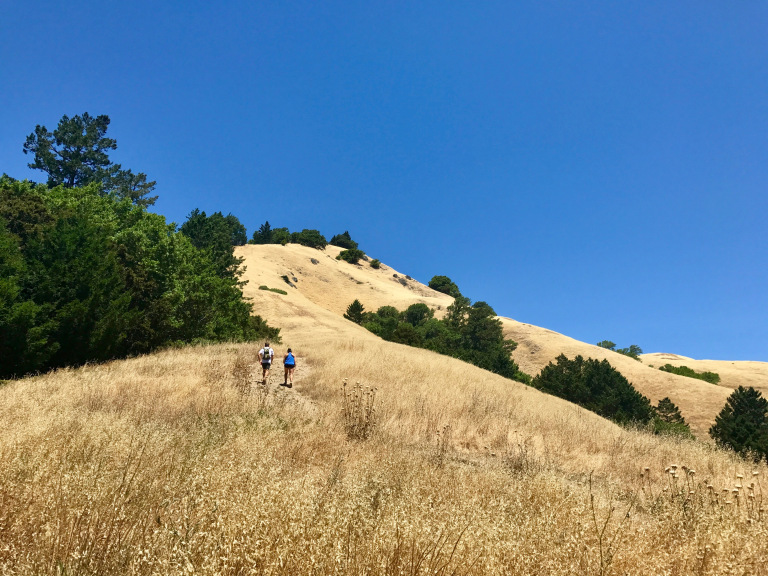
#9 Strawberry Canyon Fire Trail (East Bay)
This hike is really close to my apartment, so I can drive there in less than 10 minutes. It’s close to Berkeley and it’s an easy hike that isn’t a loop.
It’s an out-there-and-back hike, super easy, with one giant hill near the beginning.
Read more about Strawberry Canyon Fire Trail.
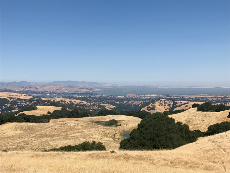
#8 Tilden Regional Park (East Bay)
Another solid place that’s close to Oakland. I can’t recall all of the trails I did here, but it has a nice mix of trails that are shaded and not-as-shaded.
The park is expansive, so it’s best to check the best trails before going.
#7 Briones Regional Park (East Bay)
I did this in the dead of summer and it was hot as hell. There’s hardly any shade.
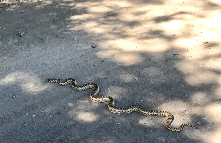
I covered 10 miles in 3 hours, and even ran into a snake. I wouldn’t recommend this one in the summer, it’s just too hot. However, it’s a challenging trail because it’s so long, with lots of hills. It’s also fairly empty.
The best trails in Briones Regional Park.
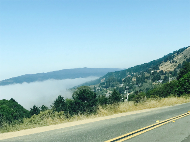
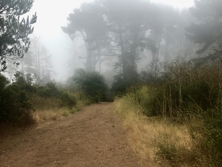
#6 Cataract Falls Trail (Mt. Tam)
Shaded hike that leads to a waterfall. The drive there got me a bit carsick, since you need to go through a windy road through Mount Tam.
Read more about Cataract.
#5 Redwood Regional Park (East Bay)
Always a solid hike, lots of trails, beautiful scenery and most importantly, close to Oakland.
Read more about the best trails in Redwood.
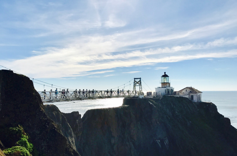
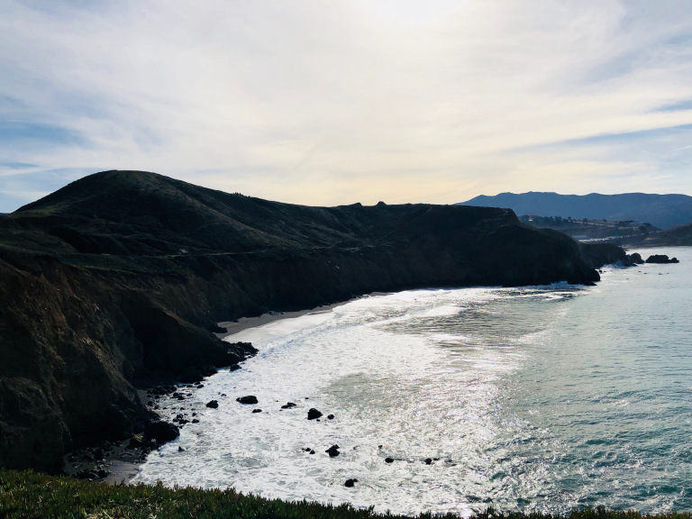
#4 Point Bonita Lighthouse (Marin)
A bus from San Francisco takes you directly to the beach. Literally drops you off in the beach parking lot!
The hike up the mountain and back down isn’t that difficult, but if you hike out to the lighthouse, you’ll cover a good 7 miles or so.
Check out Point Bonita.
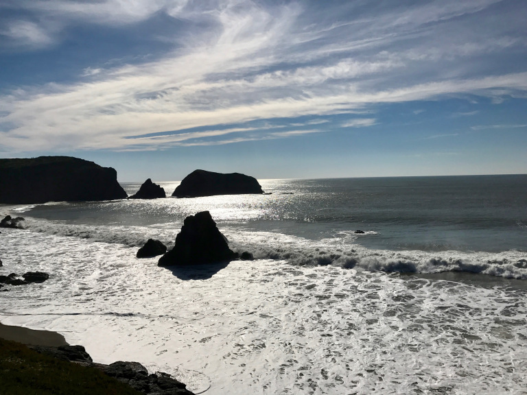
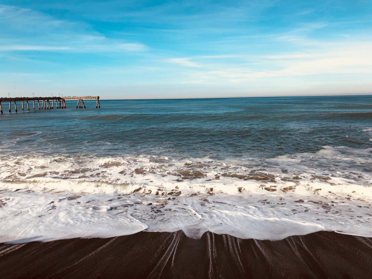
#3 Mori Point (Pacifica, CA)
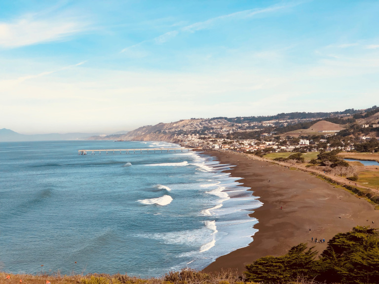
Pacifica is such a lovely, quiet, sleepy beach town south of San Francisco. I finally checked out the hike called Mori Point, and although it’s a fairly easy hike that’s mostly flat, the scenery was amazing.
The trail along the beach and up into the hills has a freaking awesome view. You can even go fishing along the pier.
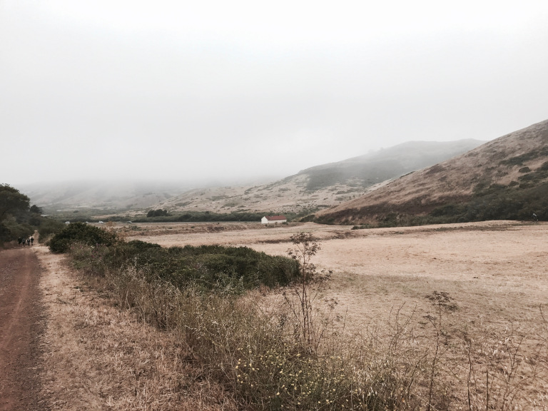
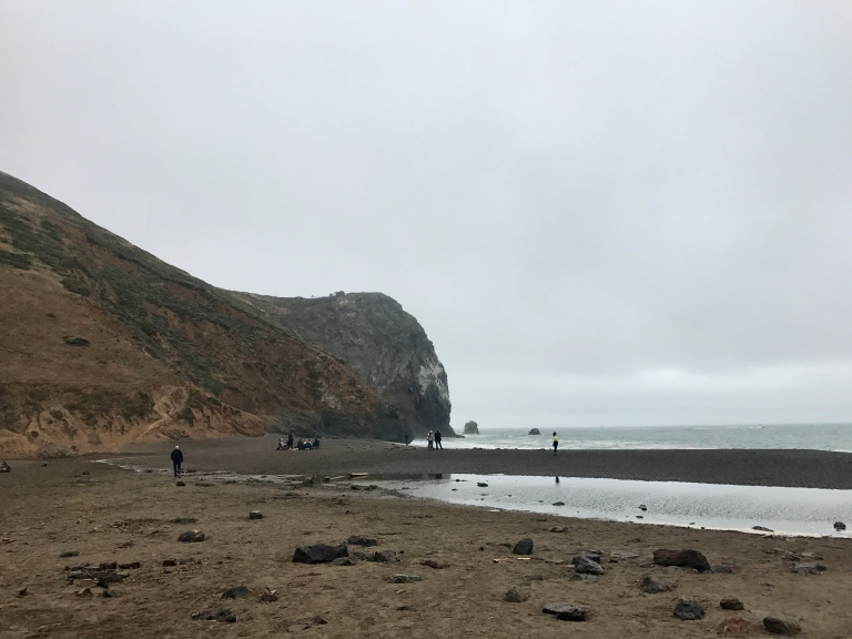
#2 Point Reyes (Inverness, CA)
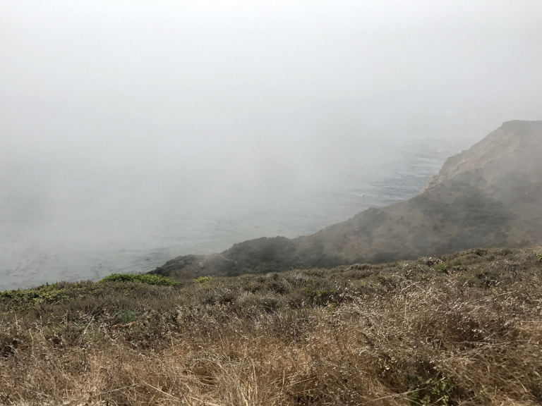
It took 2 hours from the East Bay to get there but the hike was really nice. You get epic ocean views, but I was there when it was pretty foggy.
Kind of a bummer, AND I missed the very hidden turn that leads to Alamere Falls!
The best trails in Point Reyes.
#1 Stintson Beach (Marin)
Hands down my favorite place in the Bay Area, quite possibly on earth. If I won the lotto tomorrow, I’d buy a house in Stintson. I love the hike here because it’s so close to the beach and there are a number of trails that can take you to Muir Woods, although I have yet to do this.
I heart the little town of Stintson and its cute shops, restaurants and bars near the hike. After a long hike, eating a giant burger from one of the local restaurants is the best.
Read more about Stintson.